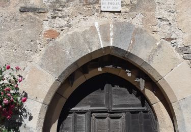
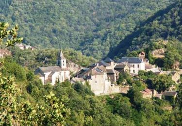
23 km | 33 km-effort
boucle pen st rome st aff
yvesconnes
Utilisateur
Longueur
72 km
Altitude max
677 m
Dénivelé positif
1760 m
Km-Effort
95 km
Altitude min
264 m
Dénivelé négatif
1790 m
Boucle
Oui
Date de création :
2023-07-09 09:58:48.826
Dernière modification :
2023-07-09 16:25:08.961
6h24
Difficulté : Difficile
Application GPS de randonnée GRATUITE
À propos
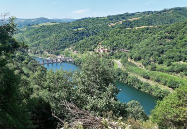
Randonnée Vélo électrique de 72 km à découvrir à Occitanie, Aveyron, Le Truel. Cette randonnée est proposée par yvesconnes.
Localisation
Pays :
France
Région :
Occitanie
Département/Province :
Aveyron
Commune :
Le Truel
Localité :
Unknown
Départ:(Dec)
Départ:(UTM)
481040 ; 4878755 (31T) N.
Commentaires
Randonnées à proximité
Au long du Tarn: d' Ayssènes à Brousse le Château
Marche
Moyen
,
Occitanie,
Aveyron,
France
7h 29min
Non
Villefranche de Panat à Salles Curan
Marche
Très difficile
Villefranche-de-Panat,
Occitanie,
Aveyron,
France
24 km | 31 km-effort
4h 53min
Non
Le chemin des Raspes - Ayssènes
Marche
Difficile
,
Occitanie,
Aveyron,
France
14,1 km | 23 km-effort
4h 30min
Oui
la Sabaterie reco
Marche
Difficile
Le Truel,
Occitanie,
Aveyron,
France
11,5 km | 15,7 km-effort
4h 51min
Oui
brousse le château
Marche
Très difficile
Le Truel,
Occitanie,
Aveyron,
France
19,8 km | 28 km-effort
9h 4min
Non
randonnée Villefranche de panat
Marche
Difficile
Villefranche-de-Panat,
Occitanie,
Aveyron,
France
10,2 km | 12,7 km-effort
3h 10min
Oui
de truel au viala du tarn in live
Marche
Difficile
Le Truel,
Occitanie,
Aveyron,
France
21 km | 32 km-effort
5h 7min
Non
rando du bosq le truel
Marche
Moyen
Saint-Victor-et-Melvieu,
Occitanie,
Aveyron,
France
8,3 km | 12,2 km-effort
2h 41min
Oui